High-Performance Computer Modelling

Advanced Numerical Modelling for Fast, Reliable Analysis

Numerical modelling provides a powerful means to simulate complex and interacting coastal and marine processes under a wide range of conditions. Leveraging its own high-performance computing resources, PSG Ocean applies advanced modelling tools to analyze waves, water levels, currents, and sediment dynamics, significantly reducing the time required to run simulations. This enables rapid evaluation of multiple design scenarios and allows for more extensive model validation and calibration within a given timeframe, increasing the reliability of the analysis and reducing uncertainty.

High-Performance Computer Modelling

PSG Ocean’s practical engineering experience ensures modelling efforts remain focused, relevant, and directly applicable to real-world design and decision-making. We provide specialized numerical modelling services to support the following analyses:

  • Hydrodynamic processes, including water levels and currents driven by astronomical tides and storm systems
  • Wave generation, propagation, and transformation as waves approach and interact with the coastline
  • Wave interaction with shorelines and structures
  • Sediment transport processes shaping shorelines, including the influence of structures on erosion and accretion
  • Dispersion and diffusion of sediment and contaminant plumes, as well as saline and thermal effluents

We apply the following industry-standard tools to develop our numerical models and associated geometry and topography:

  • MIKE 21 and MIKE 3
  • Delft3D
  • SWAN and SWASH
  • Global Mapper
  • AutoCAD Civil3D

Other services

See all services
Marine Infrastructure & Navigation

Marine Infrastructure & Navigation

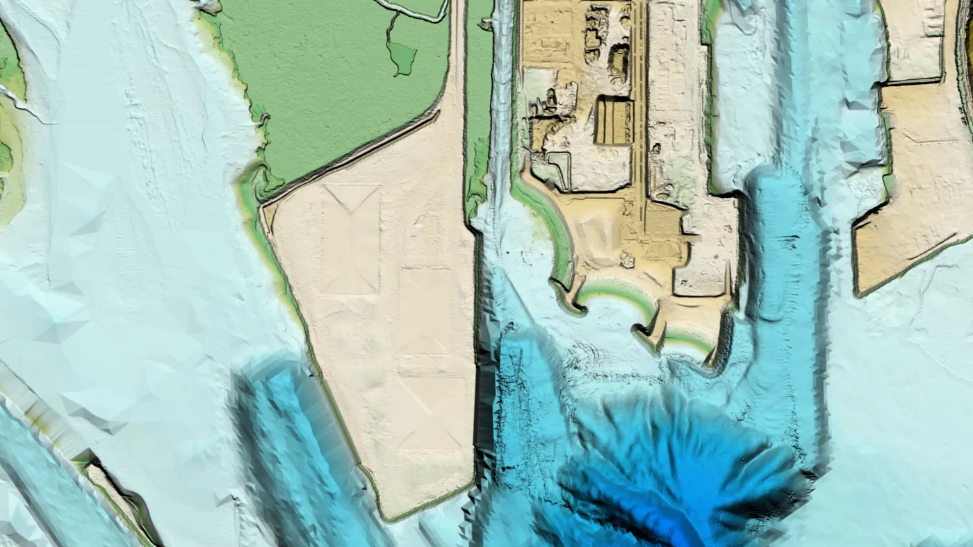
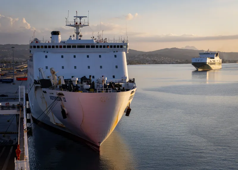
Marine infrastructure and navigation systems must be designed to perform reliably under dynamic environmental conditions while ensuring safety and operational efficiency. PSG Ocean provides coastal engineering and analysis services to support the planning, design, and assessment of marine infrastructure, with careful consideration of waves, water levels, sediment processes, and operational requirements.

See service
Coastal Hazard & Risk Assessment

Coastal Hazard & Risk Assessment

Coastal hazards are natural processes that can threaten public safety, damage property, and disrupt social and economic activities. These hazards most commonly arise from coastal flooding driven by elevated water levels and wave action during storms, often accompanied by shoreline erosion. Less frequent but high-impact events, such as tsunamis, can also pose significant hazards. Risk is determined by both the likelihood of a hazardous event occurring and the severity of its potential consequences. Assessing hazards and mitigating risks play a critical role in land use planning and development, as well as in shaping risk-informed emergency management plans.

See service