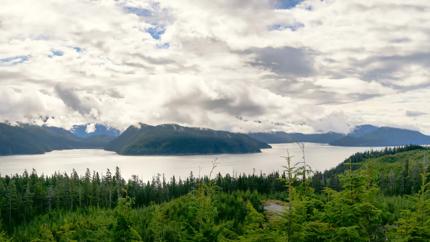
District of Kitimat • Emergency Management • Kitimat Arm, British Columbia • 2025–Present
Kitimat-Kitamaat Tsunami Model and Risk Assessment
The District of Kitimat, in partnership with the Haisla Nation, retained Ocean Networks Canada and PSG Ocean to collaboratively undertake a tsunami risk assessment for the communities and surrounding region.
-
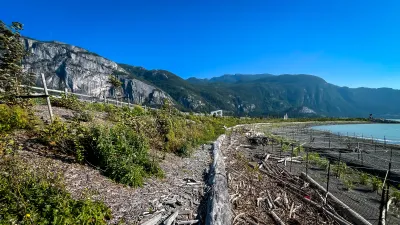
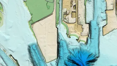
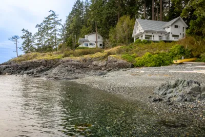
Coastal Hazard & Risk Assessment
Gallery

Latest projects
See all projects Land Use Planning & Development
Oceanfront Squamish Development
Northwest Hydraulic Consultants and PSG Ocean are working together to support the development of the oceanfront peninsula in Squamish, a 100-acre master-planned community comprising residential, commercial, industrial, and green spaces.
View project
Land Use Planning & Development
Oceanfront Squamish Development
Northwest Hydraulic Consultants and PSG Ocean are working together to support the development of the oceanfront peninsula in Squamish, a 100-acre master-planned community comprising residential, commercial, industrial, and green spaces.


Land Use Planning & Development
Flood Assessment for Subdivision Application
PSG Ocean was retained by a private owner to deliver a flood hazard assessment in support of regulatory approvals for the subdivision of an oceanfront property along the Juan de Fuca Strait within British Columbia’s Capital Regional District.
View project
Land Use Planning & Development
Flood Assessment for Subdivision Application
PSG Ocean was retained by a private owner to deliver a flood hazard assessment in support of regulatory approvals for the subdivision of an oceanfront property along the Juan de Fuca Strait within British Columbia’s Capital Regional District.

Land Use Planning & Development / Emergency Management
Modelling Extreme Water Levels in Atlantic Canada
As part of a collaborative project involving government, industry, and academic partners, PSG Ocean is supporting the development of flood hazard maps in Atlantic Canada that reflect the compound nature of coastal and riverine flooding.
View project
Land Use Planning & Development / Emergency Management
Modelling Extreme Water Levels in Atlantic Canada
As part of a collaborative project involving government, industry, and academic partners, PSG Ocean is supporting the development of flood hazard maps in Atlantic Canada that reflect the compound nature of coastal and riverine flooding.